

When discussing the impact and intensity of hurricanes, the Saffir-Simpson Hurricane Wind Scale is often the primary reference point. This scale categorizes hurricanes from one to five based primarily on sustained wind speed, with each category bringing progressively higher wind speeds and greater potential for damage. The concept of a Category 6 hurricane arises from discussions about particularly extreme storms that exceed even the highest threshold of this scale, which currently caps at Category 5, designated for hurricanes with wind speeds exceeding 157 miles per hour.
While the Saffir-Simpson scale does not officially recognize a Category 6 hurricane, the hypothetical classification would be indicative of storms with even more catastrophic wind speeds and profound destructive potential. Such categorization taps into the public and scientific discourse about whether the scale should be extended to account for super-intense hurricanes that are believed to become more frequent with continuing climate change. The mere mention of a Category 6 hurricane underscores the need for ongoing research into hurricane behavior and the possible revisions to the existing wind scale to better prepare for future storms.
Key Takeaways
- The Saffir-Simpson Scale currently classifies hurricanes up to Category 5.
- A hypothetical Category 6 hurricane would possess unprecedented wind speeds and destruction.
- The conversation about Category 6 reflects the need to evaluate and possibly extend the existing hurricane scale.
Understanding the Saffir-Simpson Scale
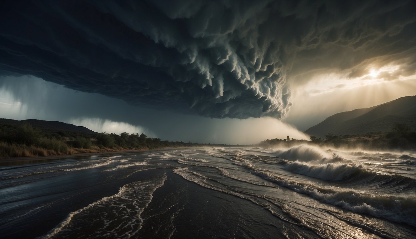
The Saffir-Simpson Hurricane Wind Scale is a 1 to 5 categorization based on a hurricane’s sustained wind speed. This scale estimates potential property damage.
Origins and Importance
Developed in 1971 by civil engineer Herbert Saffir and meteorologist Robert Simpson, the Saffir-Simpson Scale was introduced to help understand the potential impact and damage of hurricanes based on their sustained wind speeds. The scale is crucial for emergency preparedness, facilitating clear communication between forecasters and the public about the severity of approaching storms.
Current Categories Explained
- Category 1: Wind speeds of 74-95 mph; some damage to buildings and power lines.
- Category 2: Wind speeds of 96-110 mph; extensive damage to roofs, windows, and trees.
- Category 3: Wind speeds of 111-129 mph; devastating damage to homes and infrastructure.
- Category 4: Wind speeds of 130-156 mph; catastrophic damage with areas potentially uninhabitable for weeks.
- Category 5: Wind speeds of 157 mph or higher; high percentage of framed homes will be destroyed.
Each category on the hurricane wind scale correlates to more severe potential damage and risk, emphasizing the urgency for appropriate safety measures.
The Concept of a Category 6
While the scale currently maxes out at Category 5, there is occasional discussion about the creation of a Category 6 for storms with wind speeds exceeding 190 mph. However, this is not officially recognized, as Category 5 is already indicative of total destruction. Some scientific literature discusses extending the scale, but thus far, the Saffir-Simpson Scale remains a standard five-category wind scale for hurricane classification.
The Science of Hurricanes

Hurricanes, cyclones, typhoons, and tropical storms are different names for tropical cyclones, a type of weather system that can cause widespread damage. Understanding the dynamics and impact of these powerful systems requires a deep dive into the proprietary processes of their formation and the climatic factors that heighten their intensity.
Formation and Development
Tropical cyclones form over warm ocean waters, typically between 5° and 20° latitude in both the Northern and Southern Hemispheres where the sea surface temperatures exceed 26.5°C (80°F). The initial stages involve a pre-existing weather disturbance, moisture, and relatively light winds aloft. An area of low pressure develops, drawing in warm, moist air which rises, condenses, and releases heat. This heat, in turn, causes more air to cycle upwards, lowering the pressure further and strengthening the fledgling storm.
As the system grows, the Coriolis effect, due to Earth’s rotation, imparts a spin, leading to the development of the characteristic cyclonic shape with a central “eye. A fully mature hurricane displays intense wind speeds that can surpass 119 kilometers per hour (74 mph), classifying it as a Category 1 on the Saffir-Simpson Hurricane Wind Scale.
Climatic Factors Influencing Intensity
Several climatic factors play pivotal roles in determining the intensity of a tropical cyclone, which includes available heat content in the ocean, atmospheric conditions, and the underlying effects of climate change. The phenomenon of global warming, for example, is posited to contribute to sea surface temperatures’ rise, potentially leading to more energy for storms and, consequently, more intense tropical cyclones.
In the Atlantic, Pacific, and Indian Oceans, variations in conditions such as the El Niño-Southern Oscillation can significantly influence tropical cyclone behavior. Higher sea temperatures and altered wind patterns associated with El Niño events can increase hurricane intensities, while La Niña tends to have the opposite effect. Increases in the frequency of the high-end categories of storms, such as Category 4 and 5 hurricanes, bring about discussions on the potential for a Category 6, an extension to the existing scale to account for increasingly severe storms.
The Devastating Impact of High-Category Hurricanes
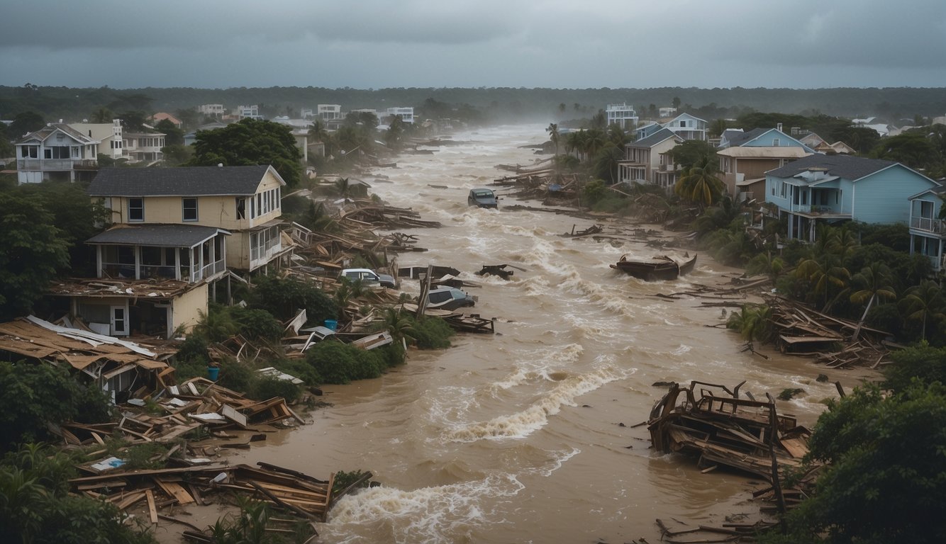
High-category hurricanes bring catastrophic damage due to their intense wind speeds and storm surges that lead to severe flooding. These weather events have historically shown their potential for widespread destruction.
Storm Surge and Flooding
Storm surge is a significant aspect of the damage caused by hurricanes. A storm surge is an abnormal rise in seawater level during a storm, measured as the height of the water above the normal predicted astronomical tide. For instance, during Hurricane Katrina, the storm surge reached as high as 27 feet, leading to massive flooding in coastal and inland areas, which highlighted the vulnerabilities of infrastructures to hurricane-induced surges.
Wind Damage and Sustained Winds
The sustained winds of a high-category hurricane are incredibly destructive. Hurricane Patricia became one of the most intense hurricanes on record with sustained winds reaching 215 miles per hour. These winds can tear apart buildings, uproot trees, and send debris flying, creating further hazards.
Case Studies: Historic Hurricanes
- Hurricane Katrina (2005): Katrina is one of the most infamous hurricanes, striking with sustained winds of up to 125 mph and causing over $125 billion in damage.
- Hurricane Michael (2018): Michael made landfall as a category 5 hurricane with winds of 160 mph. It was directly responsible for 16 deaths and caused approximately $25 billion in damages.
- Typhoon Haiyan (2013): Known as Super Typhoon Yolanda in the Philippines, Haiyan was one of the most powerful tropical cyclones ever recorded with winds of 195 mph and strong surges, leaving catastrophic damage and thousands of fatalities.
Preparation and Response Strategies
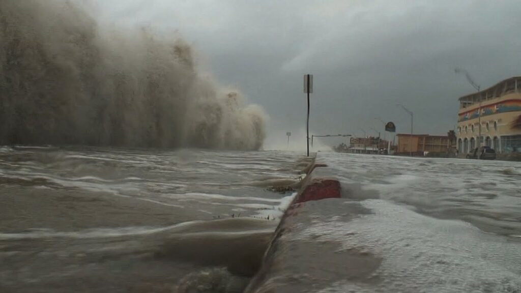
Effective hurricane preparation and response strategies are critical to minimizing the impact of these powerful storms. The strategies encompassed by forecasting and warnings, public safety measures including evacuation planning, and long-term resilience and mitigation efforts are essential components in the battle against such natural disasters.
Forecasting and Warnings
The National Hurricane Center (NHC), a part of the National Oceanic and Atmospheric Administration (NOAA), plays a pivotal role in monitoring storm developments. The NHC utilizes advanced satellite imagery and atmospheric models to predict storm paths and intensity. Timely warnings issued by these agencies are vital for preparing the affected regions. In the United States, particularly in areas such as Florida and the Gulf of Mexico, these forecasts enable local authorities to initiate preemptive measures.
Evacuation and Public Safety
The Federal Emergency Management Agency (FEMA), previously led by Craig Fugate, works closely with state and local governments to design evacuation plans. Public safety is paramount, and residents, especially in high-risk areas like South Carolina and coastal regions of Mexico, are often mandated to evacuate in advance of a storm. Clear communication of evacuation routes and shelter locations, alongside effective emergency services coordination, ensures that populations are moved to safety in an orderly and timely manner.
Long-Term Resilience and Mitigation
Understanding the long-term impacts of hurricanes is critical to building resilience. Cooperation between federal agencies, such as NOAA, and state governments lead to the development of coastal reinforcement projects and stricter building codes. The Philippines, frequently hit by tropical storms, has implemented community-based programs to reduce risks and hasten recovery. Such strategic planning and investment in infrastructure can mitigate the devastating effects of hurricanes, contributing significantly to the safety and recovery of affected populations.
Future Considerations in Hurricane Categorization

As the planet warms, the potential for more intense hurricanes increases, prompting a reevaluation of how these storms are categorized. Scientists are contemplating the implications of introducing new categories to the Saffir-Simpson Hurricane Wind Scale, particularly in light of research suggesting that category 5 hurricanes may no longer represent the upper limit of hurricane intensity.
Advancements in Meteorological Research
Researchers, including those from the University of Albany and the University of Miami, are investigating the rapid intensification of hurricanes in relation to warmer ocean temperatures. Studies published in the Proceedings of the National Academy of Sciences indicate that higher sea surface temperatures can fuel more powerful storms. Meanwhile, the Lawrence Berkeley National Lab and others in atmospheric sciences are refining models to better predict this intensification. These efforts are crucial for determining if a category 6 should be defined.
Policy Implications and Public Communication
The World Meteorological Organization and national meteorological agencies must consider how new categorizations impact public policy and emergency communication. A potential category 6 designation would require clear guidelines for when it would be used and how to effectively communicate the associated risks to the public without causing undue alarm. The goal is to ensure that communities understand the severity of the threat and take appropriate actions.
Adapting to Climate Patterns
As the ocean and atmosphere continue to warm, the scientific community is exploring how hurricane categorization must adapt to a changing climate. Acknowledging the interplay between ocean temperatures and hurricane intensity might necessitate the expansion of the current categorization scale. Researchers are examining long-term climate patterns to forecast how a new categorization could better align with the evolving nature of these powerful storms.
Frequently Asked Questions

This section addresses common inquiries about the categorization and intensity of hurricanes, specifically relating to the Saffir-Simpson scale.
Can a hurricane exceed the maximum classification of Category 5 on the Saffir-Simpson scale?
On the Saffir-Simpson Hurricane Wind Scale, Category 5 is the highest classification. This scale does not currently extend beyond Category 5, which encompasses hurricanes with sustained wind speeds greater than 157 miles per hour.
How is wind speed used to determine the category of a hurricane?
The category of a hurricane is determined by its sustained wind speeds, with each category defined by specific wind speed thresholds. The scale is designed to estimate potential property damage and flooding from a hurricane.
What are the wind speed thresholds for each of the hurricane categories 1-5?
Hurricane categories are defined as follows: Category 1 (74-95 mph), Category 2 (96-110 mph), Category 3 (111-129 mph), Category 4 (130-156 mph), and Category 5 (157 mph or higher).
What is the highest recorded wind speed in a Category 5 hurricane?
The highest recorded wind speed in a Category 5 hurricane was during Hurricane Allen in 1980, with sustained winds of up to 190 miles per hour.
How do the damages and impacts differ between the various hurricane categories?
Damage and impacts escalate with each category increase; Category 1 causes minimal damage while Category 5 results in catastrophic damage to buildings, infrastructure, and the natural environment, including severe flooding and loss of life.
Has there ever been consideration to expand the Saffir-Simpson Hurricane Wind Scale beyond Category 5?
While there have been discussions about expanding the Saffir-Simpson scale to include a Category 6, the scientific community generally agrees that the current Category 5 classification adequately covers the most intense hurricanes.


Add comment